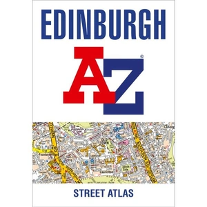
Waterstones Edinburgh A-Z Street Atlas

TO EXPLORE MORE
Price: £7.99
Brand: Waterstones
Description: Navigate your way around Edinburgh with this detailed and easy-to-use A-Z Street Atlas. Printed in full-colour, paperback format, this atlas contains 45 pages of continuous street mapping. The main mapping extends beyond central Edinburgh at a scale of 3.33 inches to 1 mile, featuring postcode districts, one-way streets, park and ride sites, and safety camera locations. Areas covered include:* South Queensferry* Leith* Prestonpans* Tranent* Musselburgh* Dalkeith* Bonnyrigg* Loanhead* Gorebridge* Penicuik* Balerno* Edinburgh Airport The large-scale street map of Edinburgh city centre - at a scale of 6.67 inches to 1 mile - includes:* Places of Interest Guide, highlighting the city's major tourist attractions and world-famous Edinburgh Festival* Postcode map of the Edinburgh area* Road map of the Edinburgh area* Diagrammatic map of rail and tram connections A comprehensive index lists streets, selected flats, walkways and places of interest, place, area and station names. Additional healthcare (hospitals, walk-in centres and hospices) and transport connections (Edinburgh Tramway stops) are indexed as well. Waterstones Edinburgh A-Z Street Atlas - shop the best deal online on thebookbug.co.uk
Category: Books
Merchant: Waterstones
Product ID: 9780008445218
Delivery cost: 2.99
ISBN: 9780008445218

My website utilises affiliate links when you click my 'Get the best deal now' buttons. If you buy something through one of these links, I may earn a little commission, at no extra cost to you.
I have relationships with many of the top online retailers (purchasing, shipping and returns will be handled directly by them) which enables me to offer the best deal online for the Waterstones Edinburgh A-Z Street Atlas and many other similar products - which will appear below, to enhance your online shopping experience.
For even more great deals on Waterstones Books, click the link.